


2024 Tracking
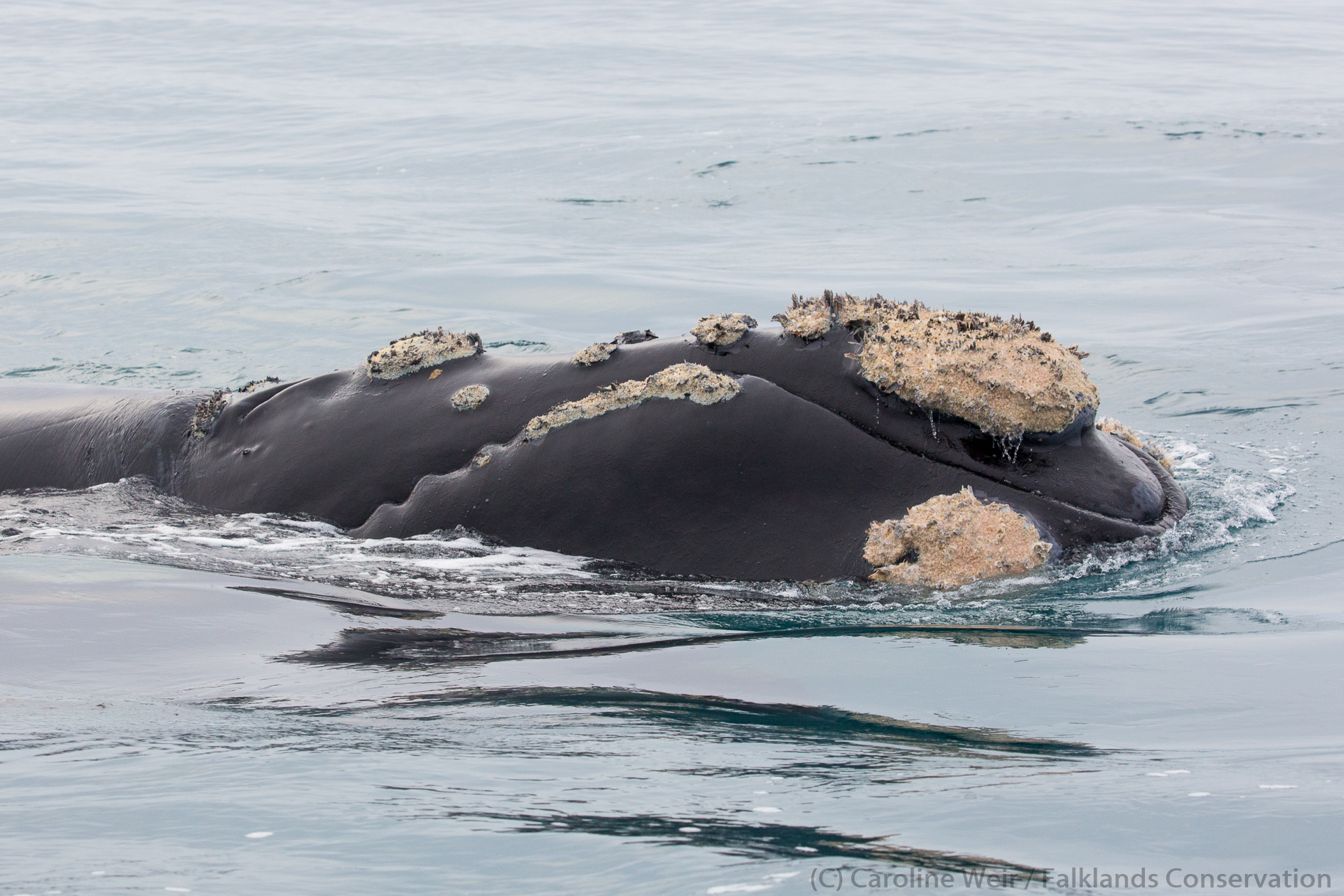
Southern Right Whales

During 2024 we will be deploying up to 10 satellite tags on southern right whales in the Falklands. The tags will provide the locations of the animals multiple times over a day, and should transmit for up to one year which will provide us with valuable information on how the whales move around the Falklands and across the wider south-west Atlantic Ocean. The 2024 tracking map can be viewed below and shows the real-time locations of the tagged whales.
Map details:
The PTT numbers on the right side of the map are unique and relate to different tags placed on different whales.
A flashing symbol to the right side of the tag means that the tag is actively transmitting. If there is no flashing symbol then either the tag has not been deployed yet or it has stopped transmitting.
You can click on one of the tag numbers to show only the track of that particular animal and the date/time of its most recent location or click on ‘see all’ to show all of the tracks at the same time.
The locations have varying accuracy, and many will only be correct to within several kilometres. This means that some locations in coastal habitats will appear to plot on land even though the animal is very much in the water!
The 2024 tagging work is part of a collaborative project which will aim to trial several different types of satellite tag on southern right whales to better assess the trade-off between using tags that are large and robust enough (i.e., with sufficient battery) to fulfil the research goals of acquiring sufficient data on whale movements versus the need to minimise the footprint and potential impacts on the tagged individuals.
We aim to carry out short-term (within the Falklands) and longer-term (at other south-west Atlantic breeding grounds) follow-ups of tagged whales to fully assess impacts on the individuals, and ensure that the development of tag technology will optimise the welfare of the animals.
This collaborative work is being led by Alex Zerbini, with funding from the Cooperative Institute for Climate, Ocean and Ecosystem Studies (CICOES), University of Washington, the National Oceanic and Atmospheric Administration, and the US Office of Naval Research. The Falklands component is being led by Falklands Conservation and is carried out with a Falkland Islands Government research permit (No. R32.2023).